
*Disclaimer: Webcam content should not be used for flight planning purposes. The webcams below may not show current live picture. FlyColorado.org recommends obtaining a full weather briefing prior to any flight.
Northern Colorado Mountains
Craig, Colorado southwest.. Provided by Weather Underground.

Steamboat Lake State Park looking northeast towards Hans Peak (10,839'), Colorado. Provided by CAIC.

Rabbit Ears Pass (9,426'), Colorado looking east. Provided by COtrip.org.

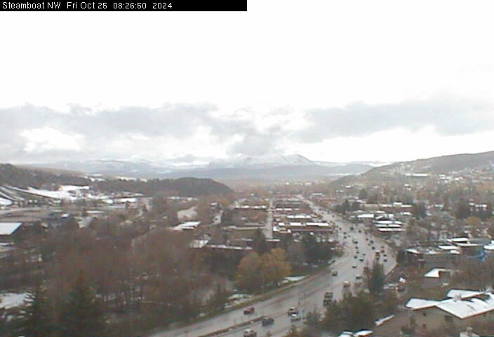
Steamboat Springs, Colorado looking northwest along Hwy 40. Provided by steamboatpilot.com.
Grand Lake, Colorado looking south. Provided by estesparkwebcams.com.

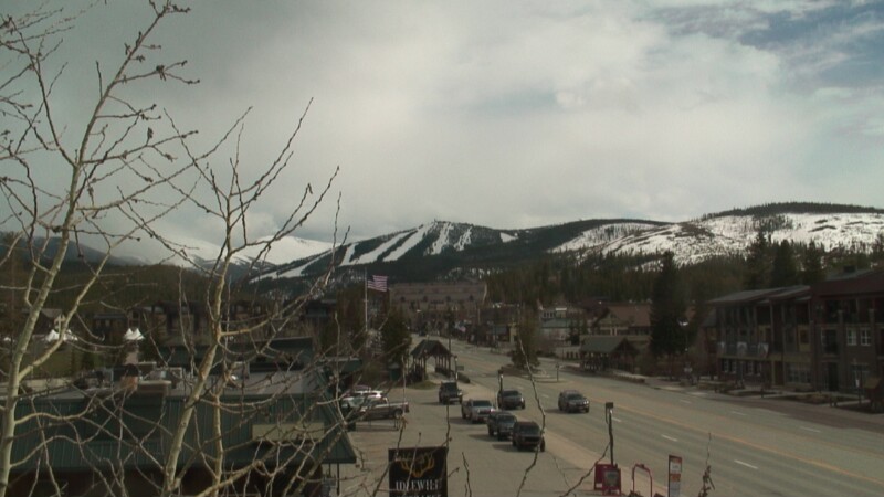
Winter Park, Colorado looking south along Highway 40 near the Best Western. Provided by Winter Park Resort.
Kremmling, Colorado looking south towards the north Gore Range. Provided by dkchilds weather underground.

Central I-70 Corridor
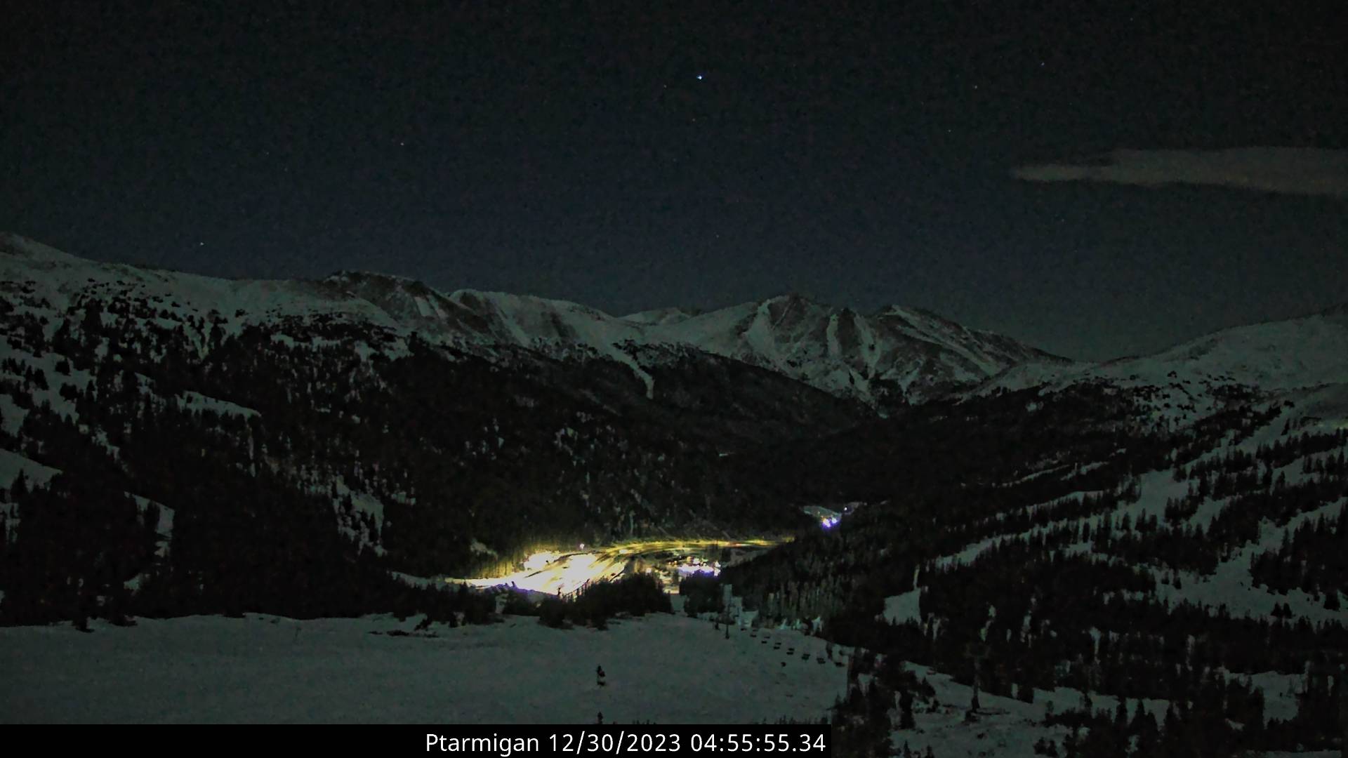
Loveland Ski Area near Loveland Pass looking to the east over the Eisenhower Tunnel along I-70. Provided by Loveland Ski Area.
Arapahoe Basin Ski Area at Black Mountain Lodge looking south. Provided by Arapahoe Basin.

Frisco, Colorado looking northeast towards Lake Dillon. Provided by Town of Frisco.
Frisco, Colorado looking west from bike hill. Provided by Town of Frisco.
Breckenridge, Colorado Peak 6 looking south. Provided by Breckenridge.com.

Vail, CO Ski Resort (elevation: 10,981') looking west. Provided by Vail.com.

Eagle County Airport (KEGE) in Eagle, Colorado looking northeast. Provided by Eagle County.

New Castle, CO looking west towards the Grand Hogback. Provided by www.coloradowebcam.net.

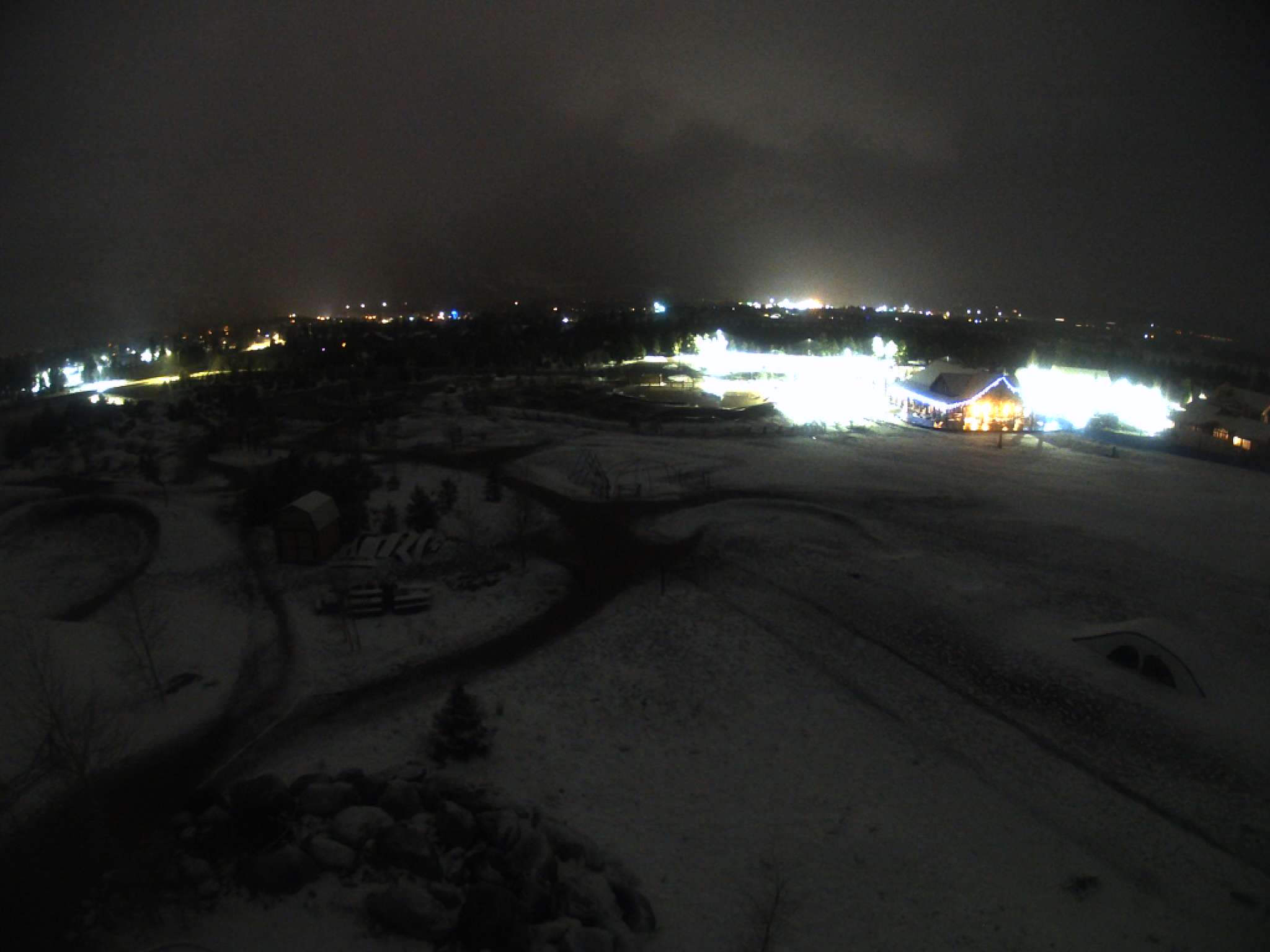
New Castle, Colorado looking west at Lakota Canyon Ranch. Provided by coloradowebcam.net.
Glenwood Springs Airport (GWS), Colorado looking northeast. Provided by coloradowebcam.net/.

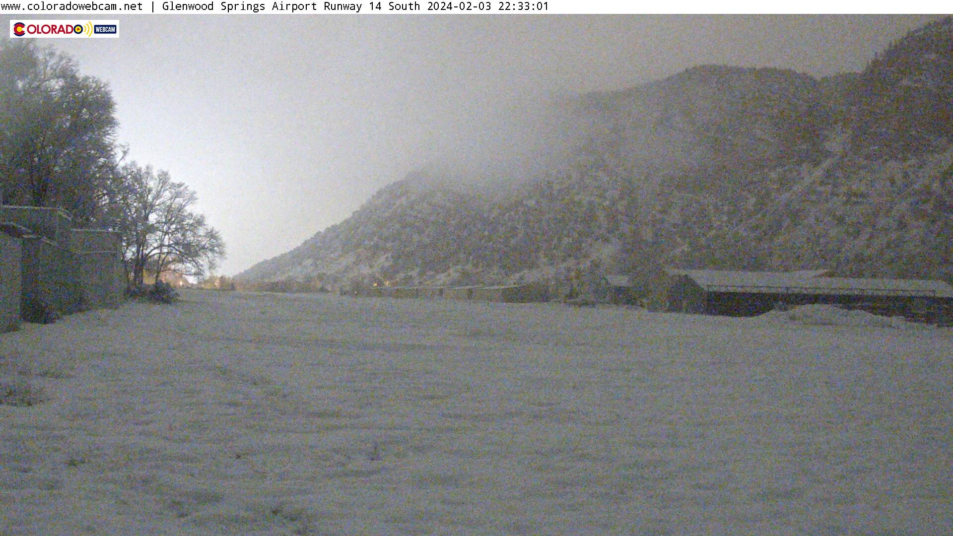
Glenwood Springs Airport (GWS), Colorado looking south. Provided by coloradowebcam.net/.
Carbondale, Colorado looking south towards Mount Sopris. Provided by coloradowebcams.net.
