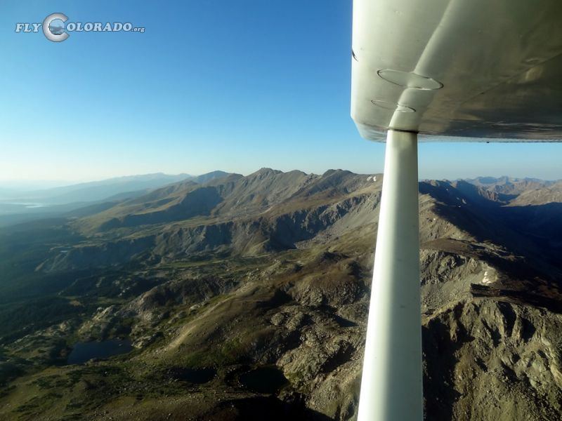
Hagerman Pass
Elevation - 11,925ft
39°15′54″N 106°29′02″W
39°15′54″N 106°29′02″W
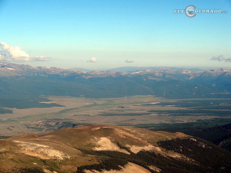
Hagerman Pass is located near some of Colorado’s highest terrain along the Continental Divide, and is a more popular alternative to other passes in the area. Nearest AWOS stations are Leadville Airport (118.375 / 719-486-2735) and Aspen Airport (ATIS 120.400 / 970-925-9168).
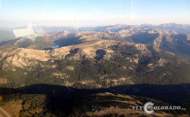
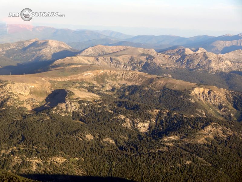
Remarks: Hagerman Pass follows county road 105 east / west over the Continental Divide and is a preferred route between Leadville, Aspen, and Glenwood Springs . Use caution: If high winds exist, extreme turbulence and severe downdrafts may be likely. Make sure sufficient altitude is obtained prior to crossing. Use caution: Mount Massive (14,428ft) 4.8NM to the south and Galena Mountain (12,293ft) 3.8NM to the northeast. Multiple mountains over 14,000ft to the north and south.
Remarks: Hagerman Pass follows county road 105 east / west over the Continental Divide and is a preferred route between Leadville, Aspen, and Glenwood Springs . Use caution: If high winds exist, extreme turbulence and severe downdrafts may be likely. Make sure sufficient altitude is obtained prior to crossing. Use caution: Mount Massive (14,428ft) 4.8NM to the south and Galena Mountain (12,293ft) 3.8NM to the northeast. Multiple mountains over 14,000ft to the north and south.
Other nearby passes: Independence Pass and Vail Pass