Independence Pass
Elevation - 12,095ft
39°06′29″N 106°33′52″W
39°06′29″N 106°33′52″W
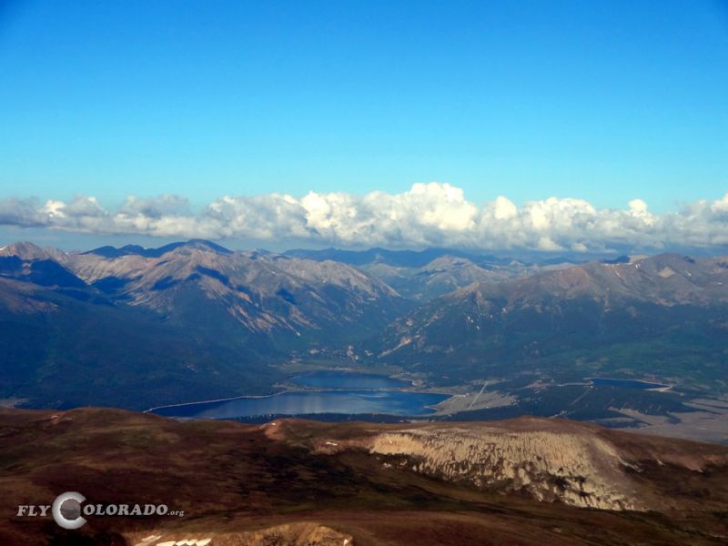
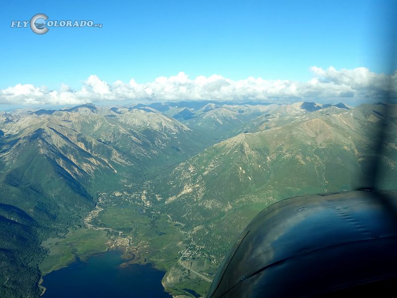
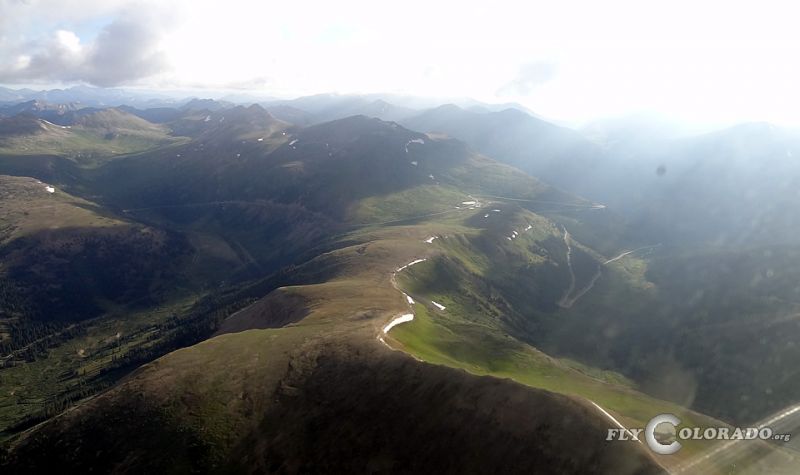
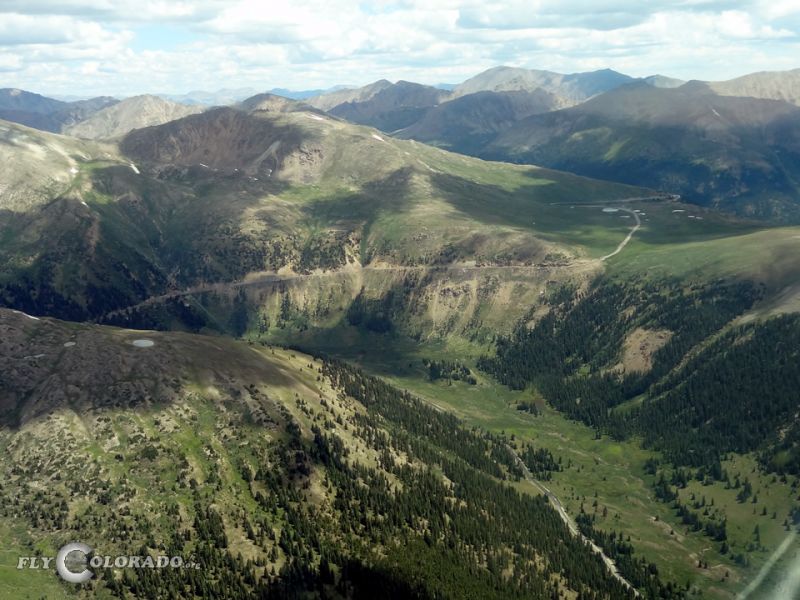
Independence Pass is a beautiful pass and known as one of Colorado’s highest passes. Located along the Continental Divide and surrounded in all directions by 14,000ft peaks, it is to be approached with extreme diligence. Nearest AWOS stations are Cottonwood Pass (132.050 / 303-512-4419), Leadville Airport (118.375 / 719-486-2735) and Aspen Airport (ATIS 120.400 / 970-925-9168).
Remarks: The scenic Independence Pass follows Highway 82 east / west over the Continental Divide deep in the heart of Colorado. Use caution: High winds and extreme turbulence including severe downdrafts may be likely. Make sure sufficient altitude is obtained prior to crossing. Use caution: Mount Elbert (14,433ft) 7NM to the east, La Plata Peak (14,336ft) 6.3NM to the east, Lackawanna Peak (13,614ft) 2.5NM to the east, Twining Peak (13,711ft) 1.6NM to the north, and Grizzly Peak (13,988ft) 4.1NM to the south. Multiple mountains over 14,000ft to the northeast, east and south.
Remarks: The scenic Independence Pass follows Highway 82 east / west over the Continental Divide deep in the heart of Colorado. Use caution: High winds and extreme turbulence including severe downdrafts may be likely. Make sure sufficient altitude is obtained prior to crossing. Use caution: Mount Elbert (14,433ft) 7NM to the east, La Plata Peak (14,336ft) 6.3NM to the east, Lackawanna Peak (13,614ft) 2.5NM to the east, Twining Peak (13,711ft) 1.6NM to the north, and Grizzly Peak (13,988ft) 4.1NM to the south. Multiple mountains over 14,000ft to the northeast, east and south.
Other nearby passes: Hagerman Pass, Cottonwood Pass, and Vail Pass