
*Disclaimer: Webcam content should not be used for flight planning purposes. The webcams below may not show current live picture. FlyColorado.org recommends obtaining a full weather briefing prior to any flight.
Front Range Mountains (South)
Divide, CO looking south towards Pikes Peak (14,110'). Provided by PeakView's webcam.

Highway 24 at Wilkerson Pass (9,507') looking east. Provided by COTrip.org.

Florissant Fossil Beds National Monument looking north. Provided by National Park Service.

Pikes Peak (14,114'), Colorado looking east. Provided by City of Colorado Springs.

Pikes Peak (14,114'), Colorado looking west. Provided by City of Colorado Springs.

Pikes Peak (14,114'), Colorado looking south. Provided by City of Colorado Springs.

Royal Gorge Bridge (6500') near Canyon City, Colorado looking west . Provided by Royal Gorge Region.

Westcillfe, Colorado looking west toward the Sangre De Cristo Range.
Provided by WestcliffeCO's webcam.

Highway 160 at LaVeta Pass (9,426') looking west. Provided by COTrip.org.

Highway 160 at LaVeta Pass (9,426') looking southeast. Provided by COTrip.org.

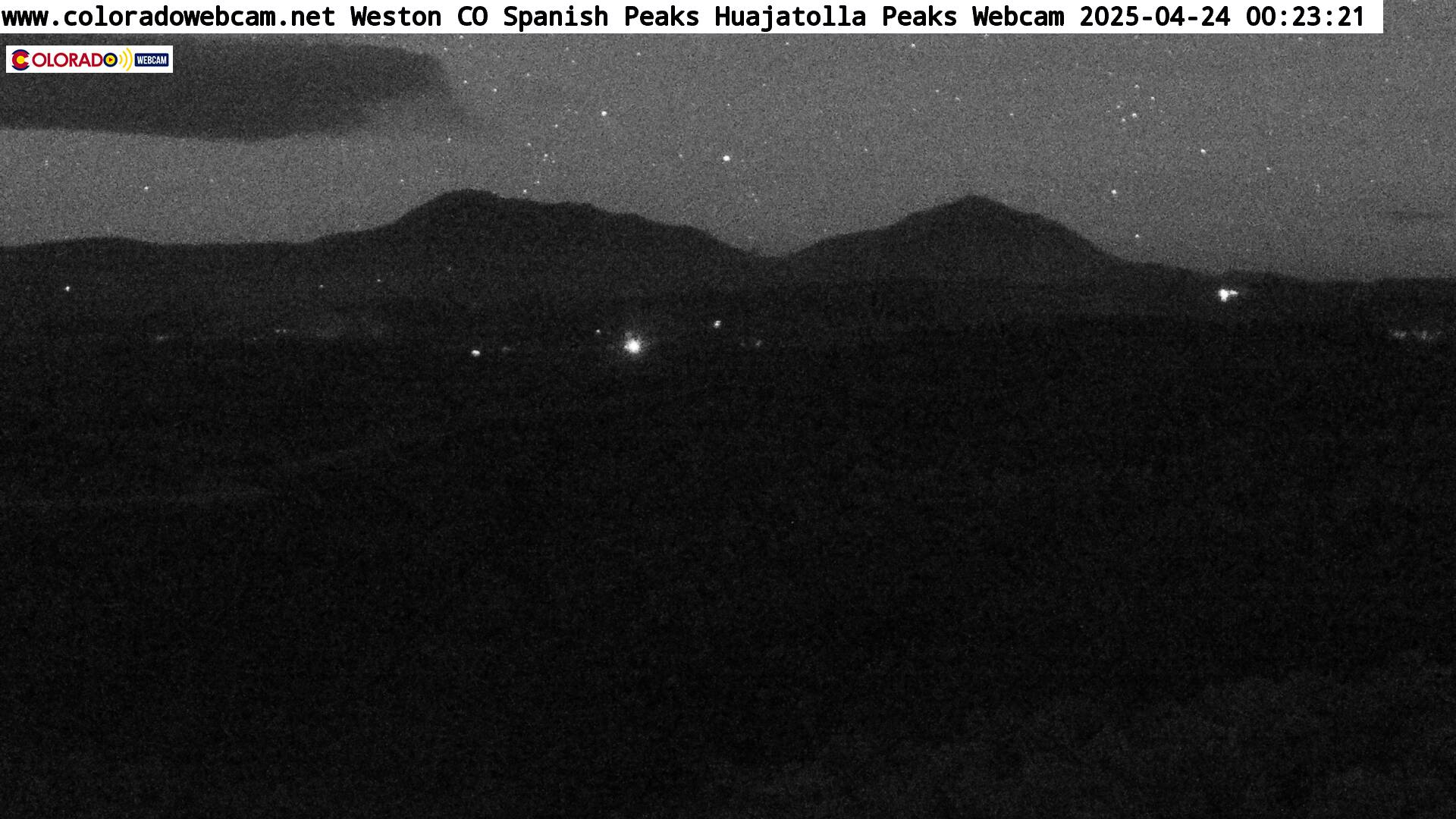
Weston, CO looking north towards the Spanish Peaks (13,625'). Provided by coloradowebcam.net.
Greater Colorado Springs Metro Area
Colorado Springs, CO looking west towards Pikes Peak from the Garden of the Gods Club. Provided by Colorado Springs Visitors Bureau.
Pike Peak Cog Railway webcam looking east over Colorado Springs, CO. On a clear day, visibility can be greater than 100 miles. Provided by Pikes Peak Cog Railway.

Pueblo Area
Pueblo, CO looking southwest form the St. Mary Corwin Medical Center towards the Wet Mountain Range. Provided by KKTV 11 NEWS.

Canyon City, CO looking southwest. Provided by kklarson's webcam.

Trinidad Area
Trinidad, Colorado looking southeast. Provided by Trinidad State Junior College.

Interstate 25 at Raton Pass (7,834') looking north. Provided by COTrip.org.
